Your vision
takes flight.
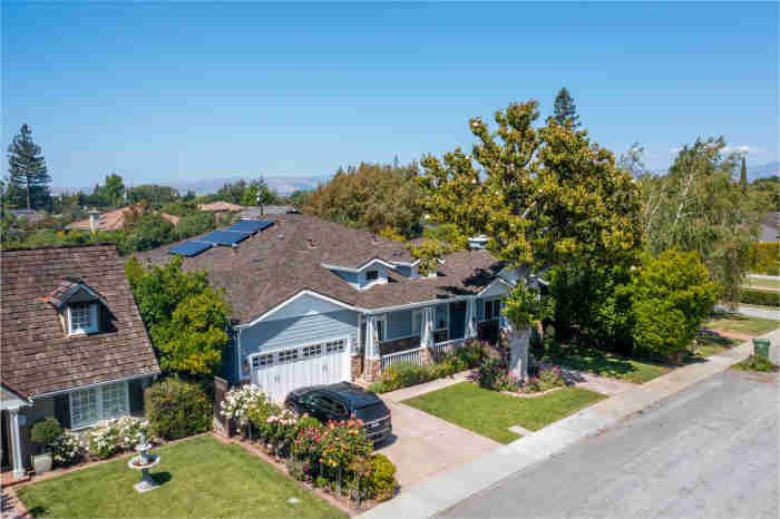
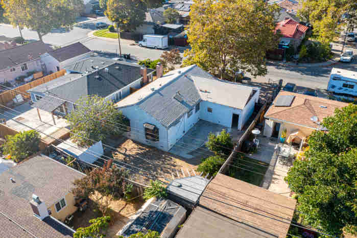
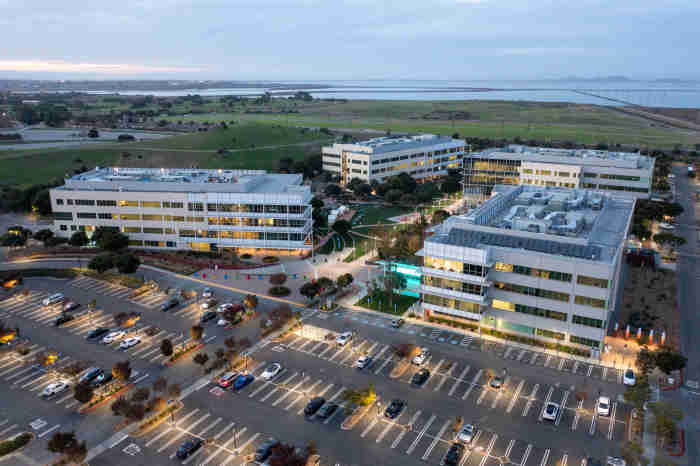
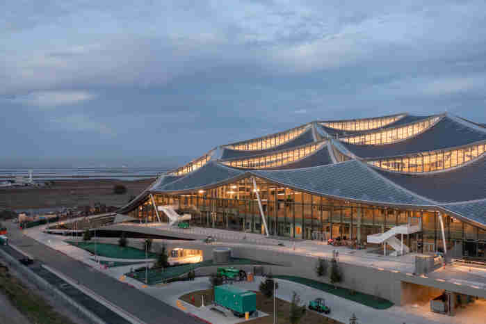
At Counter, the sky isn't the limit. Whether it's capturing your property from a stunning bird's eye view or keeping your crew safe through high-altitude inspections performed from the ground, drones make it happen.
Book Now
Get in touch:
Form Submitted
Thanks, we'll be in touch soon!
Get in touch:
Form Submitted
Thanks, we'll be in touch soon!

Get in touch:
Form Submitted
Thanks, we'll be in touch soon!

"Did you know? Over 90% of companies utilizing drones in their business operations reported a return on their investment within one year.[1]"







"Working with Counter LLC was a wonderful experience. They were professional, timely, well-planned, and created a fantastic video utilizing dynamic drone footage of our performance"
Johnny Erdman, Santa Clara High School

Johnny Erdman
Band Director
Santa Clara High School
Pretty cool, right?
Form Submitted
Thanks, we'll be in touch soon!
Get in touch:
Form Submitted
Thanks, we'll be in touch soon!

